What to know
Physical prep
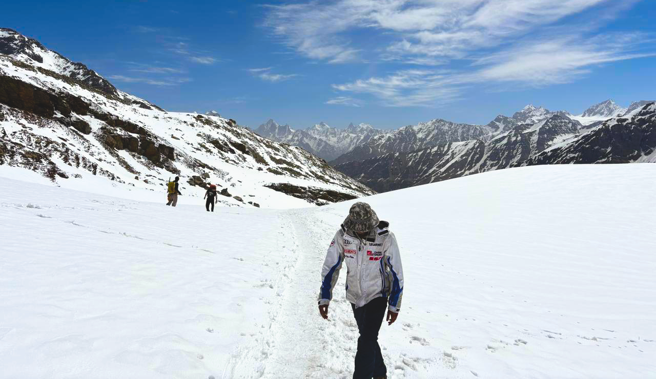
Comfortable trekking 6 to 8 hours with a 7 to 8 kg pack. No technical climbing. The snowfield descent on day five is the most demanding section.
What to bring
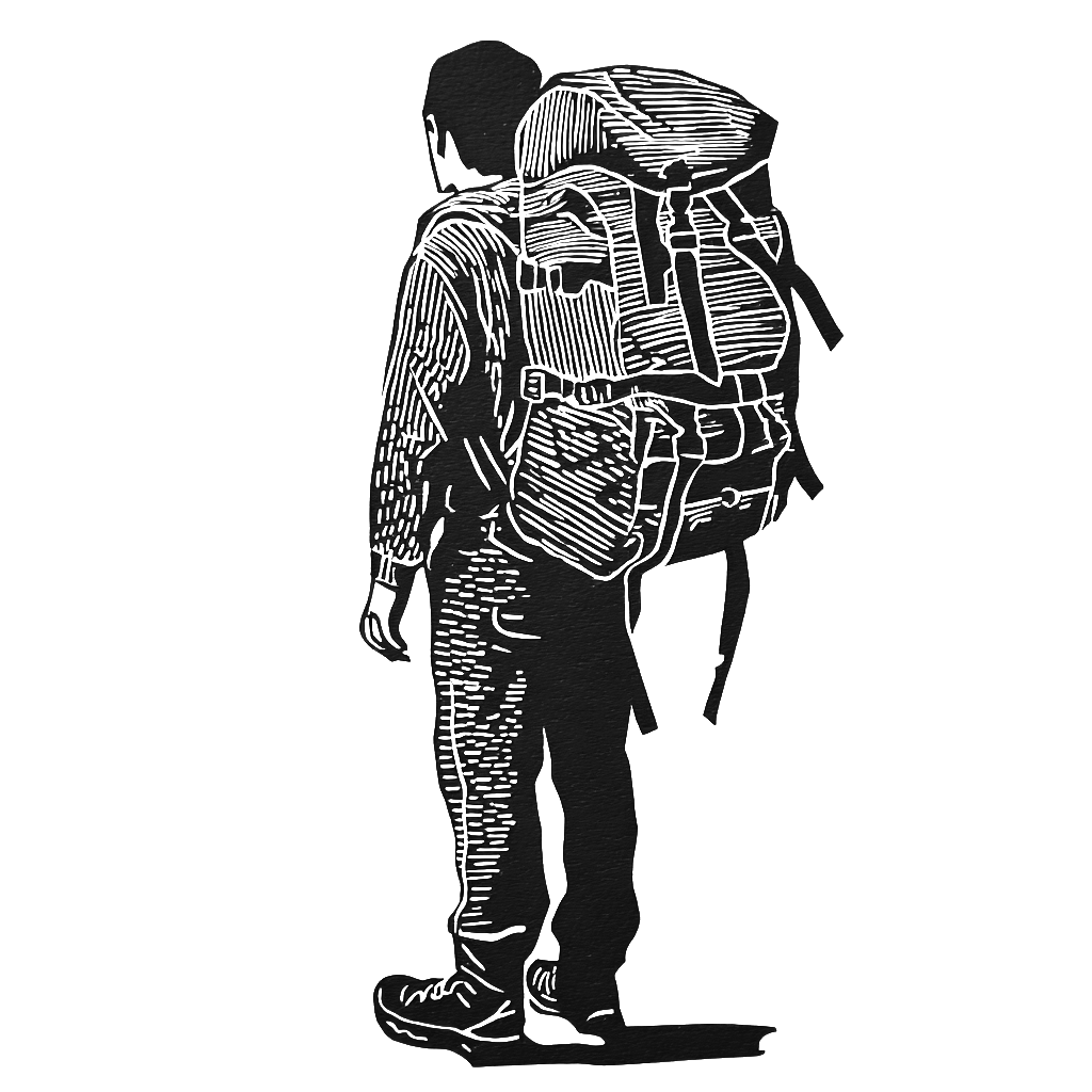
Layers, a waterproof shell, and trekking poles for the snowfield sections. We send a full kit list after your first conversation with us.
Who you'll walk with
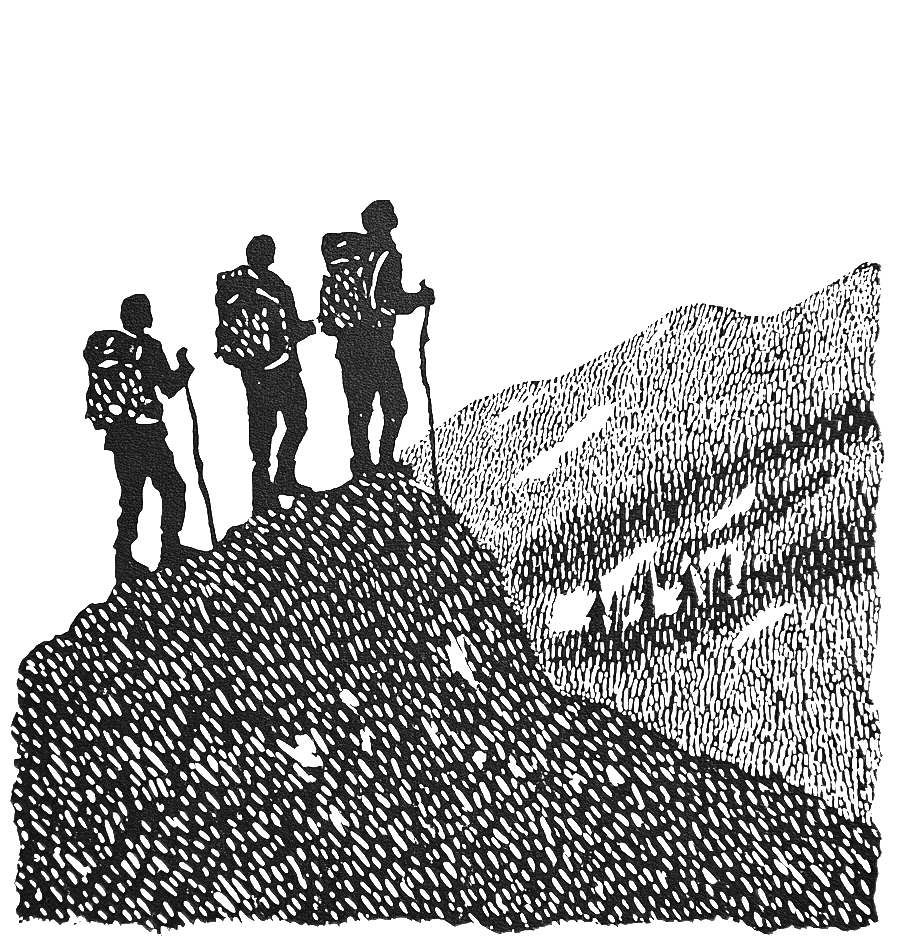
Maximum twelve. Our average is eight. We don't mix groups without asking first. Your guide has led this specific pass for years.

Permits and paperwork
All forest and state permits handled by us. No paperwork on your end. We'll confirm everything in writing before departure.
Before you book
Rupin Pass, answered
How fit do I need to be for the Rupin Pass trek?
You should be comfortable trekking 6 to 8 hours with a 7 to 8 kg daypack on consecutive days. No technical climbing or prior mountaineering is needed. The summit day — around 12 km over the pass to Ronti Gad — is the longest and hardest stretch, and there's a dedicated acclimatization day built in before it. If you jog or hike regularly and start preparing 6 to 8 weeks ahead, you'll be in good shape for it.
Is Rupin Pass suitable for first-time high-altitude trekkers?
Yes, with the right fitness base. It's a moderate-to-difficult trek — a step up from an easy introduction — but no part of it requires technical skill. The itinerary is paced for acclimatization, and with a maximum of 12 in the group, your guide can keep a close eye on how everyone is adjusting to the altitude.
What about altitude sickness? How do you handle acclimatization?
The route is built to gain height gradually, with a full rest-and-acclimatization day at Dandreyash Thatch before the pass crossing. Guides are trained to spot the early signs of AMS and carry a first-aid kit, a pulse oximeter, and emergency medication. If anyone needs to descend, that call is made early and without debate — getting everyone down safe sits above reaching the top.
How do I reach the start point?
The trek begins and ends with a road journey from Shimla — roughly 180 km in to Jiskoon on day one, and the long drive out from Sangla at the end. Shimla is well connected by bus and taxi from Chandigarh and Delhi. Once your dates are set, we share the exact meeting point and timings.
Where do we sleep, and what's the food like?
Twin-share tents on trek, with all camping equipment provided. Meals are freshly cooked vegetarian — simple, warm, and enough of it — covering breakfast, lunch, dinner, and hot tea through the day. Tell us about any dietary needs in advance and we'll plan around them.
Is there mobile network or charging on the trek?
Network fades after the first day, and you should expect to be offline for most of the route — part of why people come. There's no charging on the trail, so carry a power bank. The disconnection tends to be one of the better parts of the week.
What's your cancellation policy?
Free cancellation up to 30 days before departure. You don't pay anything to start a conversation or to hold a tentative spot while you decide. We'll walk you through the exact terms before any payment changes hands.
Can I join as a solo trekker?
Yes. A good share of our trekkers come on their own and join a small group — our average group is around eight people. We won't fold you into a large commercial batch without asking you first.
Can we book a private group or change the itinerary?
Yes. If you're a group that wants the trek to yourselves, or you'd like to add a rest day, swap a village, or start from a different trailhead, that's a conversation we're glad to have. Most things are possible — the price adjusts with group size and what you change. Tell us what you have in mind and we'll build it around you.
What gear do I need, and can I rent it?
Layers, a waterproof shell, sturdy trekking shoes, and poles for the snowfield sections. We send a full kit list after your first conversation. We also have a lot of gear available to rent — reach out to us and we'll share exactly which items are on offer.
When is the best time to do Rupin Pass?
May and June is the main season, when the snowfield is at its most dramatic and the trail is in good condition. September departures run on request. We don't operate it in deep monsoon or winter.
From the trail