Menu
The Passes Rupin Pass Buran Ghati Hampta Pass Sar Pass Pin Bhaba Check Availability

Sar Pass

“A proper introduction.”

Check Availability Free cancellation up to 30 days
Duration 5 Days
Difficulty Moderate
Season May – June
From ₹17,000+
Sar Pass trail through Parvati Valley

Parvati Valley to the snowline.

Five days from the pine forests of Kasol to a 4,223m crossing that earns its reputation. The terrain changes with every day — village, forest, open meadow, rocky approach, snowfield. By the time the pass arrives, you already know what Himalayan trekking is.

4,223m
Summit elevation
48km
Hiking route
5days
Duration
12max
Group size
Start Kasol 1,580 m Day 1 Grahan 2,350 m Day 2 Min Thach 3,400 m Day 3 Nagaru 3,780 m Day 4 Sar Pass Summit · 4,223 m Day 5 Barshaini 2,210 m

Day by Day

Seven kilometres through pine forest, crossing the Parvati River early. Grahan is a proper Himalayan village — small, quiet, at the edge of the trail network. The pace resets here before the real climb begins tomorrow.

Forest Walk Village Arrival

The forest opens up. By midday the terrain is wide and exposed — broad meadows with the high ridgeline visible ahead. Min Thach is a flat, open camp with no village noise and a great deal of sky above it.

Meadow Camp Open Terrain

The altitude starts to register. Rocky and open terrain, air noticeably thinner, no tree cover. Nagaru Base sits just below the snowline — from here the route to the pass is visible and no longer abstract.

High Altitude Rocky Terrain

The longest day. Summit at 4,223m, then a long descent through snow and meadow to Biskeri Thach on the Kullu side. The descent is not the hard part — the summit rewards the approach that got you here.

Summit Day Long Descent

Final morning — all downhill through pine forest to Barshaini, then the drive back to Kasol. The week feels recent for a long time afterward. This is what most people remember when they say they want to come back.

Final Descent Forest Trail

What to know

Physical prep

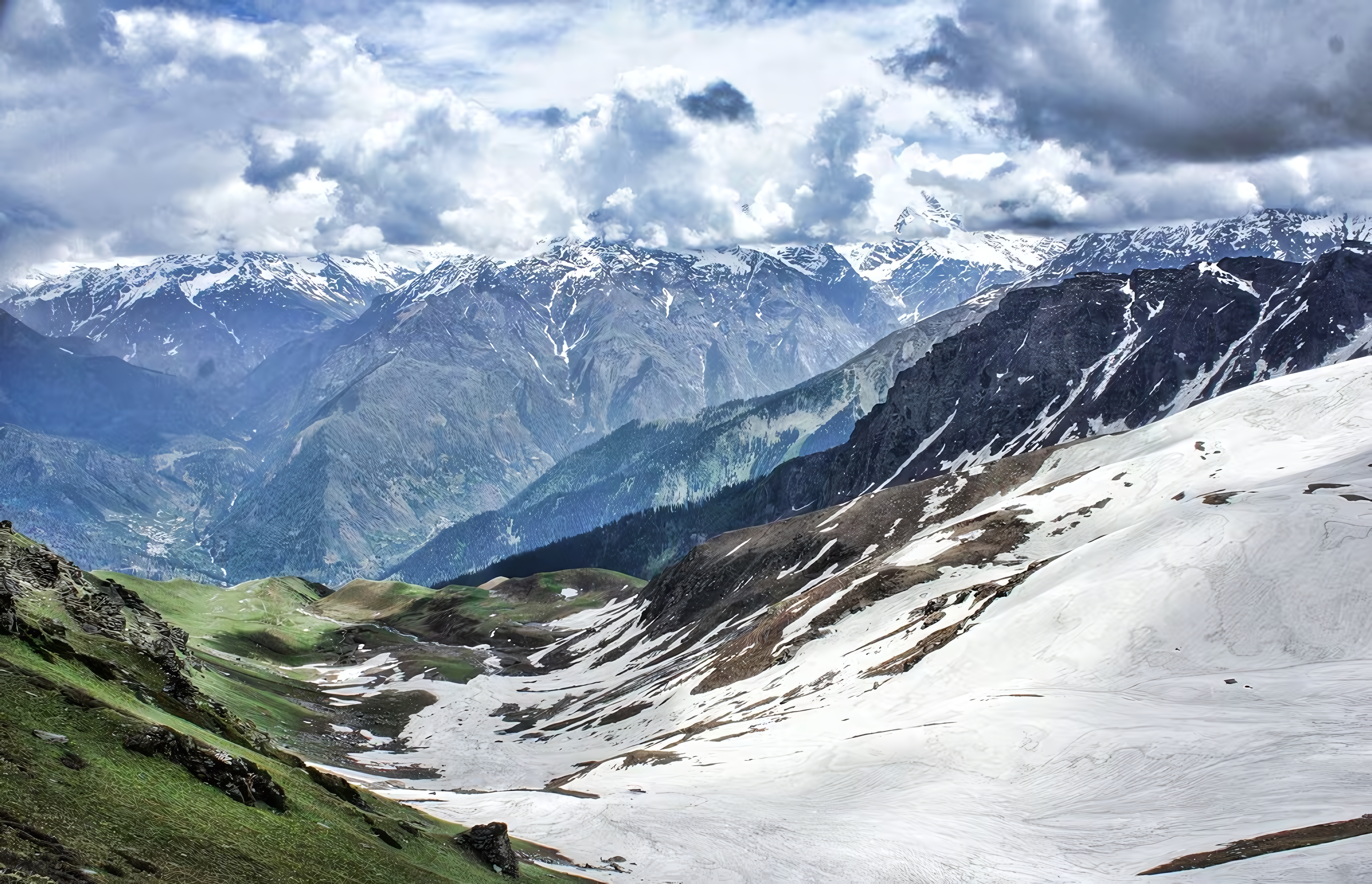
Comfortable with multi-day altitude trekking. Day 4 involves 12 km with significant summit gain and descent. A solid aerobic base is required — this pass doesn't ease you in.

What to bring

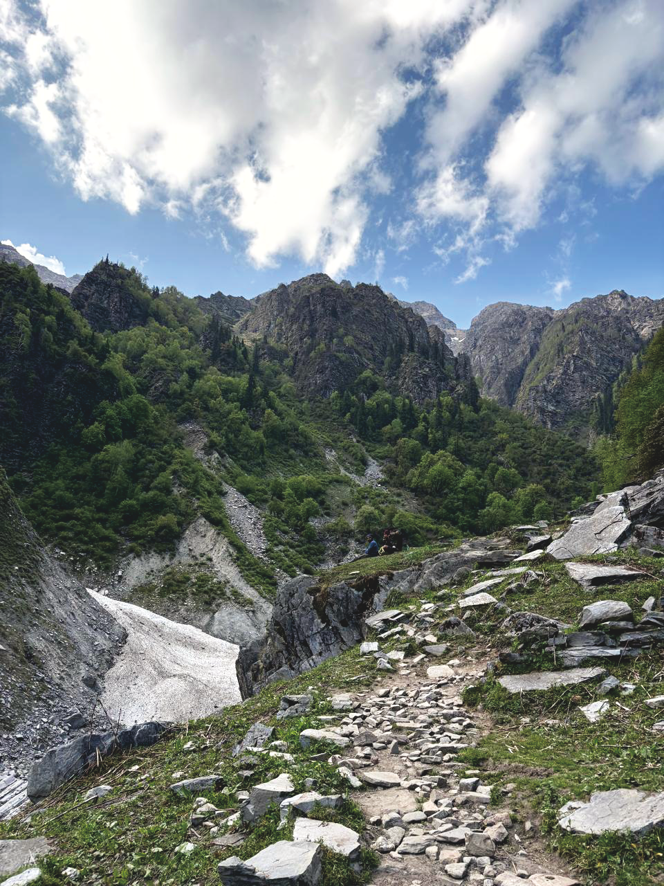
Layers, a waterproof shell, and trekking poles for the snowfield sections. We send a full kit list after your first conversation with us.

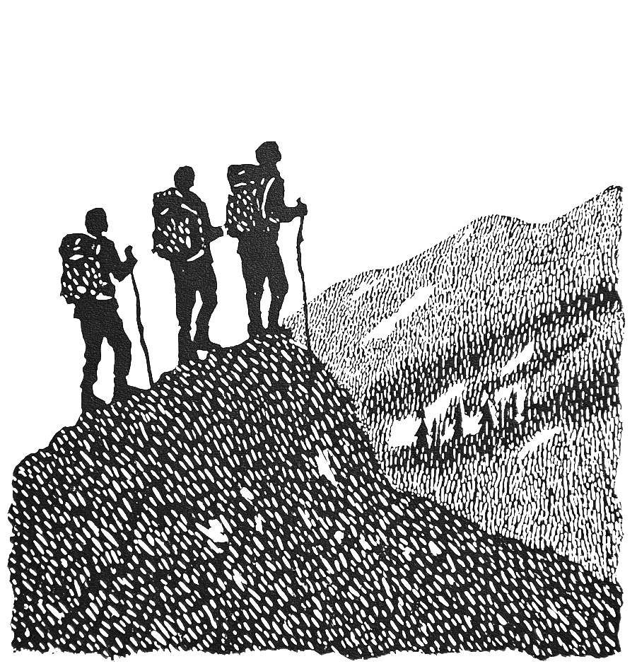
Who you'll walk with

Maximum twelve. Our average is eight. We don't mix groups without asking first. Your guide has led this specific pass for years.

Permits and paperwork

All forest and state permits handled by us. No paperwork on your end. We'll confirm everything in writing before departure.

Ask on WhatsApp
Check Availability